Geography and Landscapes of Kenya
Kenya is divided into 5 distinct geographical zones: north, east, south, central and west. Each possesses its own landscapes and vegetation. From deserts to fine sandy beaches bordered by the Indian Ocean
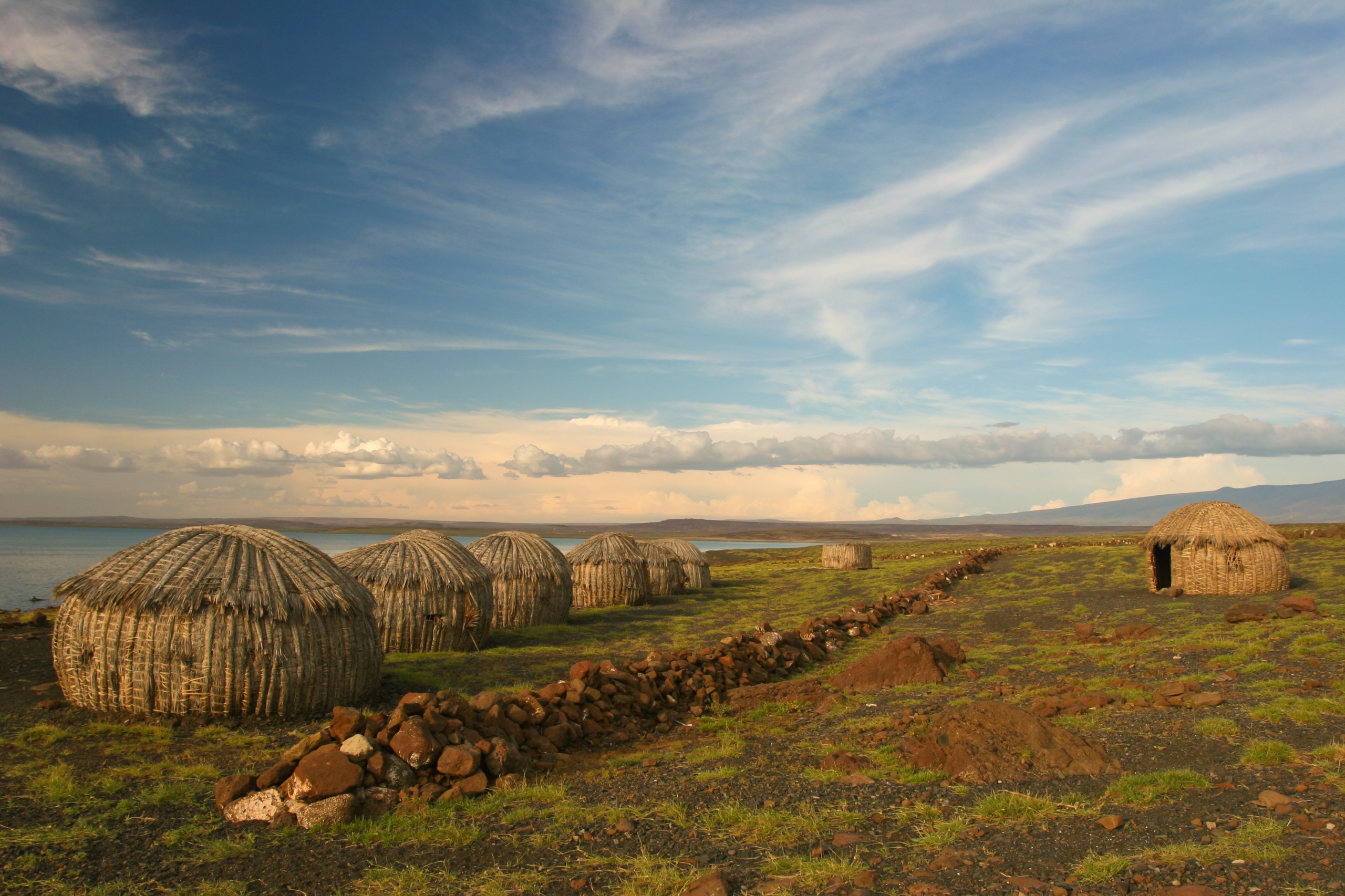
Kenya is divided into 5 distinct geographical zones: north, east, south, central and west. Each possesses its own landscapes and vegetation. From deserts to fine sandy beaches bordered by the Indian Ocean, passing through the savannas of the south, the central highlands cut in two by the Great Rift Valley and the equatorial forests of the west… Discover Kenya's landscapes with us.
Kenya's Geographical Location
Located in East Africa and crossed by the equator, Kenya is bordered by 5 countries:
- South Sudan to the northwest,
- Ethiopia to the north,
- Somalia to the east,
- Uganda to the west, and
- Tanzania to the south-southwest.
Bathed by the Indian Ocean to the southeast, Kenya boasts a coastline of over 400 km in length. In total, Kenya covers an area of 580,367 km², slightly larger than France.
The Landscapes of Northern Kenya
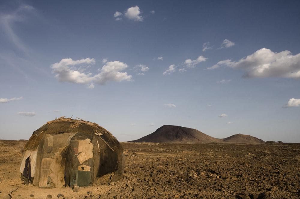
Northern Kenya is characterized by the predominance of a desert steppe. These arid plains are sometimes interrupted by dried-up riverbeds. Notable features include the Chalbi Desert, located east of Lake Turkana, near the Ethiopian border.
The Chalbi Desert is defined by towering dunes of golden and red sand. Composed of a chain of extinct volcanoes that overlook the basin, volcanic cones rise on either side of the desert. Ancient lava flows are also visible here.
The Chalbi Desert features a few shaded oases with palm groves where Kenya's last nomadic tribes (such as the Gabra, Samburu, Turkana, Rendille…) live or stop over.
With temperatures reaching 43 to 46°C in the middle of the day, this is one of Kenya's hottest and most arid regions. Rainfall is extremely rare but intense. When a storm occurs, the luggas (dried-up riverbeds) transform into veritable torrents of mud and sand.
The Landscapes of Eastern Kenya
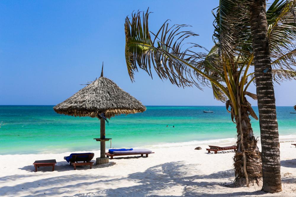
Eastern Kenya can be divided into two sections: an arid and dry region bordering Ethiopia in the northeast and a coastal plain bordered by the Indian Ocean to the southeast.
With a coastline of over 500 km, Kenya's coastal belt extends between Somalia and Tanzania. The landscapes consist of fine white sandy beaches stretching endlessly, dotted with fishing villages and beach resorts, the most famous being Mombasa. Among Kenya's most beautiful beaches, you'll find Diani Beach, Tiwi Beach, Nyali Beach, Manda Beach, Watamu Beach…
North of the coast, a string of islands borders the shoreline. Among them are the islands of Manda, Pate and Lamu.
The Landscapes of Southern Kenya
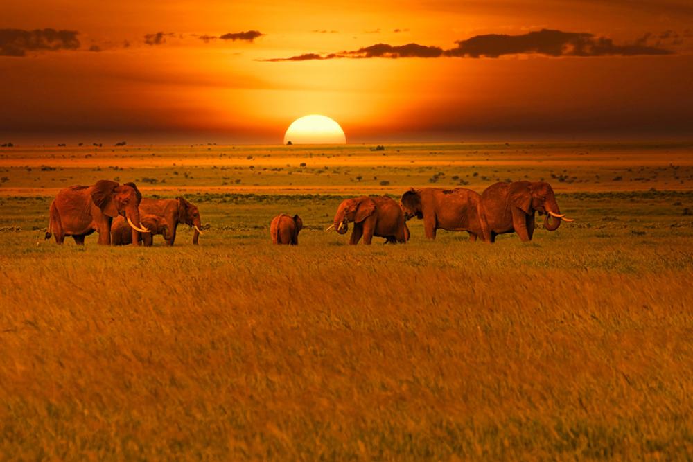
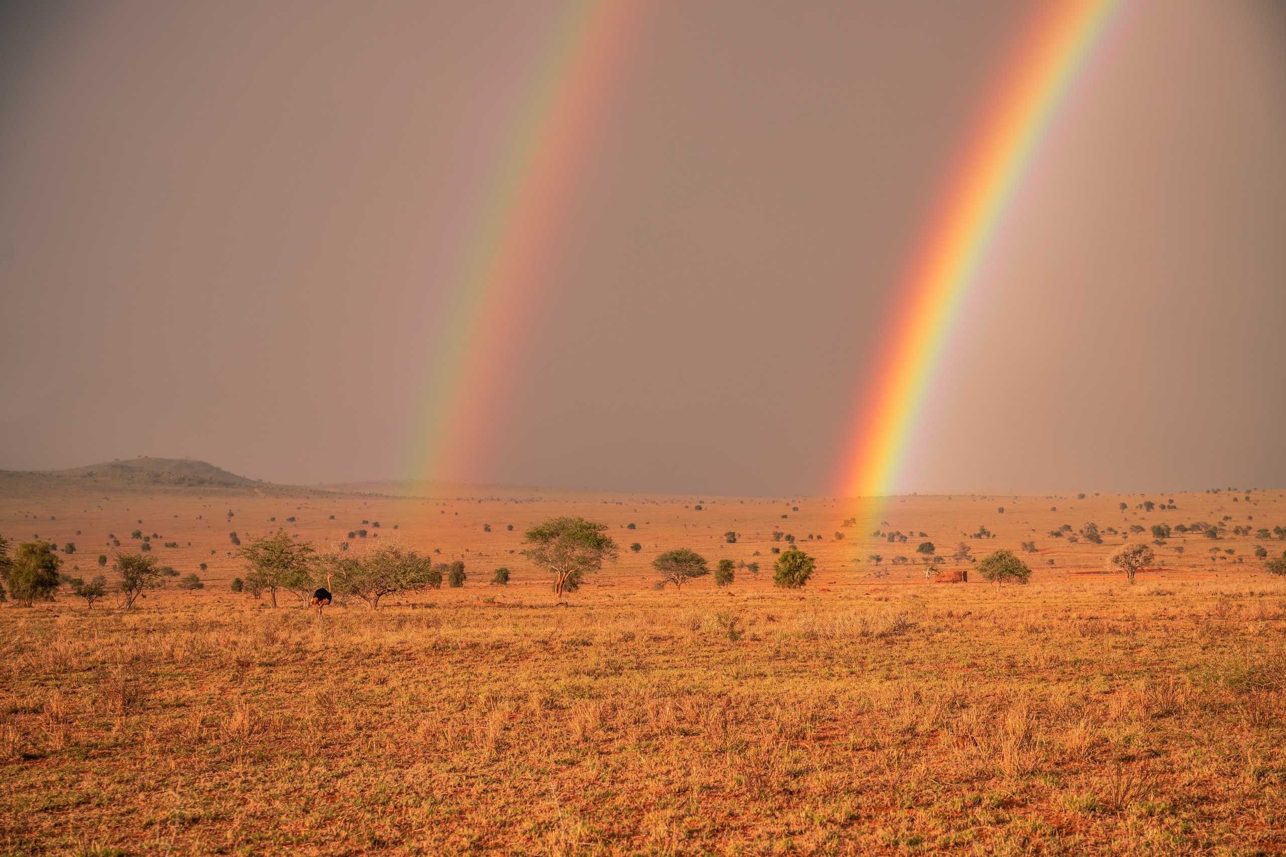
Southern Kenya is primarily characterized by savanna landscapes, arid or wooded plains. A favorite destination for safaris, this region is home to some of Kenya's most beautiful national parks. Indeed, Southern Kenya is home to an abundance of wildlife including the famous Big 5 animals (lion, rhinoceros, buffalo, leopard and elephant). It is also in this zone that the Maasai people live.
Here are the main national parks in southern Kenya and the various landscapes to be found:
The Maasai Mara National Reserve:
Nestled on the edge of Tanzania, it is Kenya's main wildlife reserve. It is characterized by landscapes of plains and wooded savannas. It's the ideal place to witness the great migration phenomenon, see the Big 5, and embark on an encounter with the Maasai tribe.
Close to the Tanzanian border, the park is a collection of grassy, salty and dry plains whose topography originates from the formation of Mount Kilimanjaro. Today, the park is characterized by savanna grasslands interspersed with lakes and marshes. In addition to observing wildlife and nature on safari, the park is also renowned for offering one of the finest views of Kilimanjaro, the continent's highest peak.
Tsavo National Park:
Divided into two and separated by a railway line linking Mombasa to Nairobi, the park divides into two sections: Tsavo East National Park and Tsavo West National Park.
While the eastern section consists of arid and relatively flat landscapes, the western section features mountainous terrain and more luxuriant vegetation due to the presence of numerous water sources such as the famous Mzima Springs. It's worth noting that Tsavo East is traversed by the Galana River with its tumultuous rapids and also features several waterfalls such as Lugard Falls. You'll also find two species of trees there: the baobab and the doum palm.
The Landscapes of Central Kenya
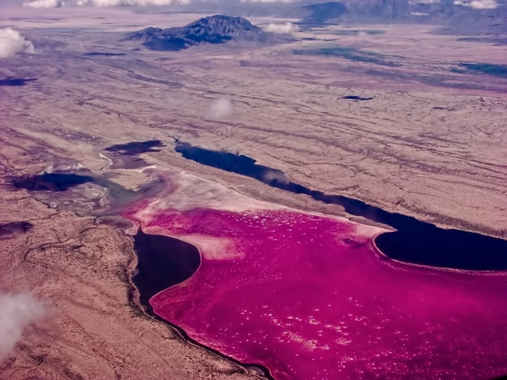
The landscapes of central Kenya's region are shaped by the Great Rift Valley. Also called the "great East African rift," it is a vast geological fault that is the result of tectonic activity. Kenya is located on the meeting line of the African plate and the Somalian plate.
The Great Rift Valley extends over 6,000 kilometers from north to south, from the Afar to the Mozambique Channel, passing through several African countries including Ethiopia, Somalia, Kenya, Tanzania and Mozambique. In Kenya, the Great Rift Valley extends across the entire length of the country, from Lake Magadi in the south to Lake Turkana in the north.
The landscapes of central Kenya, where the capital Nairobi is located, are thus composed of a tumultuous topography that alternates between calderas, dormant volcanoes, volcanic cones (including the emblematic Mount Kenya, the country's highest peak), hills and mountains, high plateaus…
The region is also renowned for hosting numerous lakes including Lakes Magadi, Bogoria, Nakuru, and Elementaita… These attract hundreds of bird species and are a favorite playground for bird-watching enthusiasts.
The Landscapes of Western Kenya
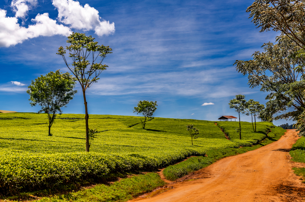
Western Kenya's region consists of rolling plateau terrain that extends along the Ugandan border to the shores of Lake Victoria.
Due to its location near Lake Victoria and its varying altitudes, Western Kenya is one of the country's wettest regions. It is here that rainfall is most abundant and most regular. The result? The landscapes of Western Kenya are much greener than elsewhere in the country.
In addition to the famous Lake Victoria, Western Kenya is also a major hub for tea cultivation (such as the sublime Kericho tea plantations), coffee, sugarcane and horticulture. You'll also find magnificent tropical forests including the Kakamega Forest.